Get free quotes

Free planning tool

Subdivision and density calculator

Enter the erf size, how many portions or units you have in mind and, if you know it, the minimum erf size or density the policy allows. See the size per portion, the density and how many would fit.

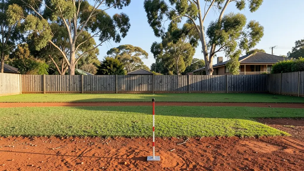
A large erf that could be subdivided into portions
Notice of application
Units per haPortion size and density
Free, nothing storedRef LUA/TOO/SUB/595

ErfThe property

PolicyThe limits optional, from the scheme or the municipality's density policy

Portions in plan

Area for portions
–
Each portion
–
Gross density
–
Net density
–
Most that fit the limits
–
Check
–

Size per portion, gross and net density in units per hectare, and the most portions a minimum erf size allows. The tool runs in your browser: nothing you type is sent or stored. It is plain arithmetic to prepare a request or a conversation with a planner, not a zoning assessment or legal advice.

How the calculator works

Start with the erf or farm size and the number of portions or dwelling units you have in mind. Larger developments lose part of the land to internal roads, access handles, servitudes and public open space; put that share in as a percentage and the calculator works on what is left.

  • Each portion is the area left divided by the number of portions. The last portion is labelled RE, the remainder, as on a surveyor's diagram.
  • Gross density is units per hectare over the whole property; net density counts only the land in portions. Policies usually say which one they mean.
  • Most that fit applies the minimum erf size and the density limit you enter.

Where to find the limits

Minimum erf sizes and densities come from the land use scheme, the municipality's densification or spatial development framework policies and sometimes the title deed. They differ widely between suburbs, so a planner checks them for the actual erf. Real portions also need access to a street (often a panhandle), services connections and building lines, so the layout a land surveyor draws can yield fewer portions than the arithmetic.

From the numbers to an approval

A subdivision application, sometimes with a rezoning for higher density, goes to the municipality with a layout plan and motivation. After approval, the land surveyor's diagrams go to the Surveyor-General and the conveyancer registers the new portions. For larger projects, start with a feasibility study.

Frequently asked questions

What is the minimum erf size for a subdivision?
There is no national figure. Each land use scheme and the municipality's policies set it per zone and area, and some title deeds set their own. A zoning certificate and a planner's check of the policies for your suburb give the real figure.
What is the difference between gross and net density?
Gross density divides the number of units by the whole property, including roads and open space. Net density divides by only the land in erven or portions, so it is always higher. Check which one the policy uses before comparing.

Free quote request, no obligation

Request quotes for a subdivision

Fill in the form the way a planner would open a new file: the size of the erf, its zoning now and what you want it to become, how many portions or units and the floor area, or simply how many certificates, surveys or objections. Registered planners, plan drawers, surveyors and consultants in your area quote you directly.

Land use and plans: request formSubdivision of Property
File
52264
Date
2026-11-21
Fee
Free

1The job

2The property (optional, it helps the quote)

The erf in plannot to scale

-
-
-
-
-
-
Estimate
-

Plain arithmetic for the request, not a zoning assessment.

3Where you are now

4Your list (optional)

  1. 01
  2. 02
Up to 12 lines: applications, plans, certificates, surveys or studies.
Needs and options

5Your details

Free and no obligation. By sending you agree that we may share your request with suitable town planners, plan drawers, surveyors and consultants. See our privacy policy.

Get free town planning quotes