Need an environmental impact assessment in Upington? TownPlanning.co.za puts owners, developers, businesses and residents in Upington in touch with environmental assessment practitioners serving Upington and nearby areas of Northern Cape. Send one request and you receive quotes directly, free and with no obligation.
Environmental Impact Assessments in Upington
Developing near a river, wetland, the coast or natural veld in Upington? Tell environmental assessment practitioners who work in Upington and around Northern Cape the site size, its location and what you plan to build or clear, so they can screen for listed activities and quote.
New to this? Read the environmental impact assessments guide for the steps and the points worth checking before you appoint anyone.
Specialist studies & advice in Upington: local notes
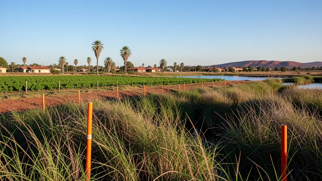
The Orange River brings floodlines, riverine vegetation and water use licences into most developments near it, so environmental assessments are common for lodges and new farm buildings. The dry hinterland has its own sensitive species. Traffic studies come up for shops and yards on the N10 and N14. Residents may object to taverns and guest houses in quiet streets, and a planner can check feasibility first.
Why planning matters in Upington
Upington is the main town of the Green Kalahari, set on the Orange River where a narrow strip of vineyards and irrigation farms cuts through dry semi-desert. That strip shapes development: land near the river is valuable for farming and tourism, but floodlines, irrigation rights and water use controls limit what can go there. The town serves a huge area, so shops, offices and logistics yards along the main roads keep coming, along with guest houses for visitors heading to the Kgalagadi. Paballelo is a large residential area with backyard rooms. The Dawid Kruiper Local Municipality handles land use and building applications for Upington and its surroundings.
Typical requests for an environmental impact assessment in the area come from:
- Homeowners: checking whether a house near a river, wetland or the coast needs authorisation
- Developers: a basic assessment or full EIA for a township, estate or large rezoning
- Owners of farms, plots and vacant land: screening a farm or smallholding for sensitive areas before planning a development
Local tips for Upington
Asked for most in Upington: guest houses, farm subdivisions and river-side land use. Where the planners are: A few local planners and surveyors; others from Kimberley and Cape Town. A useful tip: ask whether the stand lies below the river's floodline before you build.
Environmental Impact Assessments: suits developers and landowners near sensitive land. How it works: basic assessment or scoping and EIA. For homeowners, the biggest group here, that usually means checking whether a house near a river, wetland or the coast needs authorisation. Who decides: dawid Kruiper Local Municipality and its planning tribunal.
Service area: Upington and surrounds
Our network covers Upington together with Keimoes, Kakamas, Paballelo, Louisvale, Groblershoop, Kanoneiland. The erf number, a copy of the title deed and photos of the property help a practitioner work out the job before quoting.