A consultant quotes better when they know the property, what is planned and what the municipality has already asked for. Send one request with the details and we pass it to environmental assessment practitioners working in Mbombela (Nelspruit) and nearby areas of Mpumalanga.
Environmental Impact Assessments in Mbombela
Developing near a river, wetland, the coast or natural veld in Mbombela? Tell environmental assessment practitioners who work in Mbombela and around Mpumalanga the site size, its location and what you plan to build or clear, so they can screen for listed activities and quote.
The main environmental impact assessments page explains the process, the rules and the costs in more detail.
What to know locally in Mbombela
Tourism brings steady requests for guest house, lodge and wedding venue rights around Hazyview and White River, where neighbours and access roads drive objections. Rivers, steep kloofs and indigenous bush near the Crocodile River can trigger an environmental assessment. Old buildings in Barberton and the older parts of town may need a heritage permit, and traffic studies are routine for shops and offices on the N4 and the R40.
Why planning matters in Mbombela
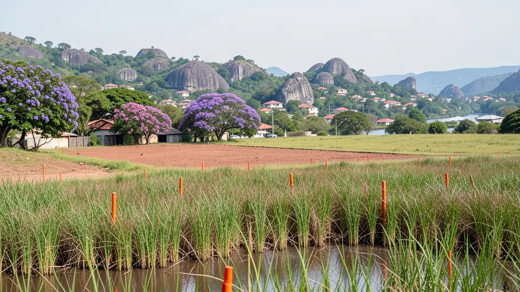
As the provincial capital and the gateway to the Lowveld, Mbombela mixes government offices, citrus and macadamia farms, tourism and steep hillside suburbs. Sonheuwel, West Acres and Steiltes climb rocky slopes where building lines, stormwater and retaining walls shape every plan, while Riverside Park and the N4 corridor carry offices, showrooms and new estates. The road towards White River is lined with smallholdings being split, estates and lodges. Further out, KaNyamazane, Matsulu and much of the surrounding area include traditional land where the tribal authority plays a part in allocating sites. The City of Mbombela decides planning and building applications, with its Municipal Planning Tribunal hearing larger and opposed ones.
Typical requests for an environmental impact assessment in the area come from:
- Homeowners: checking whether a house near a river, wetland or the coast needs authorisation
- Home businesses and guest houses: authorisation for a lodge, venue or facility on land with natural vegetation
- Owners of farms, plots and vacant land: screening a farm or smallholding for sensitive areas before planning a development
Local tips for Mbombela
Asked for most in Mbombela: hillside additions, guest lodges and smallholding subdivisions. Where the planners are: planners, architects and surveyors in Mbombela and White River. A useful tip: ask for a contour survey before the plans on a sloping or rocky stand.
Around Mbombela the largest group asking is homeowners, which usually means checking whether a house near a river, wetland or the coast needs authorisation. Before you agree to anything: NEMA, 107 of 1998, and the EIA Regulations. Getting a planner there: strong local practices that also cover Hazyview, Barberton and Malalane.
Service area: Mbombela and surrounds
Our network covers Mbombela together with White River, KaNyamazane, Matsulu, Barberton, Hazyview, Rocky Drift, Karino. The erf number, a copy of the title deed and photos of the property help a practitioner work out the job before quoting.